We took another opportunity to escape Portland and explore the Scablands of Eastern Washington. As an alumni of Washington State University, I have driven through this area many times and never knew the history it held. Now I have a greater appreciation for the area. To see more images.
This is my 3rd time visiting the Scablands of Eastern Washington and I still can’t get enough. The previous visits were with fellow cameramen that knew more about the area and where to go than I did. This 3rd trip I took the time to do a little more planning and education on the area I wanted to visit. Exploring with some education in my toolbox, gave me a greater appreciation as to why the topography looked the way that it did and made it far more interesting. I wanted to take a moment and share some of that information with you, so you too can have a better appreciation as to how the Scablands and Drumheller Channel were formed.
Our Trip:
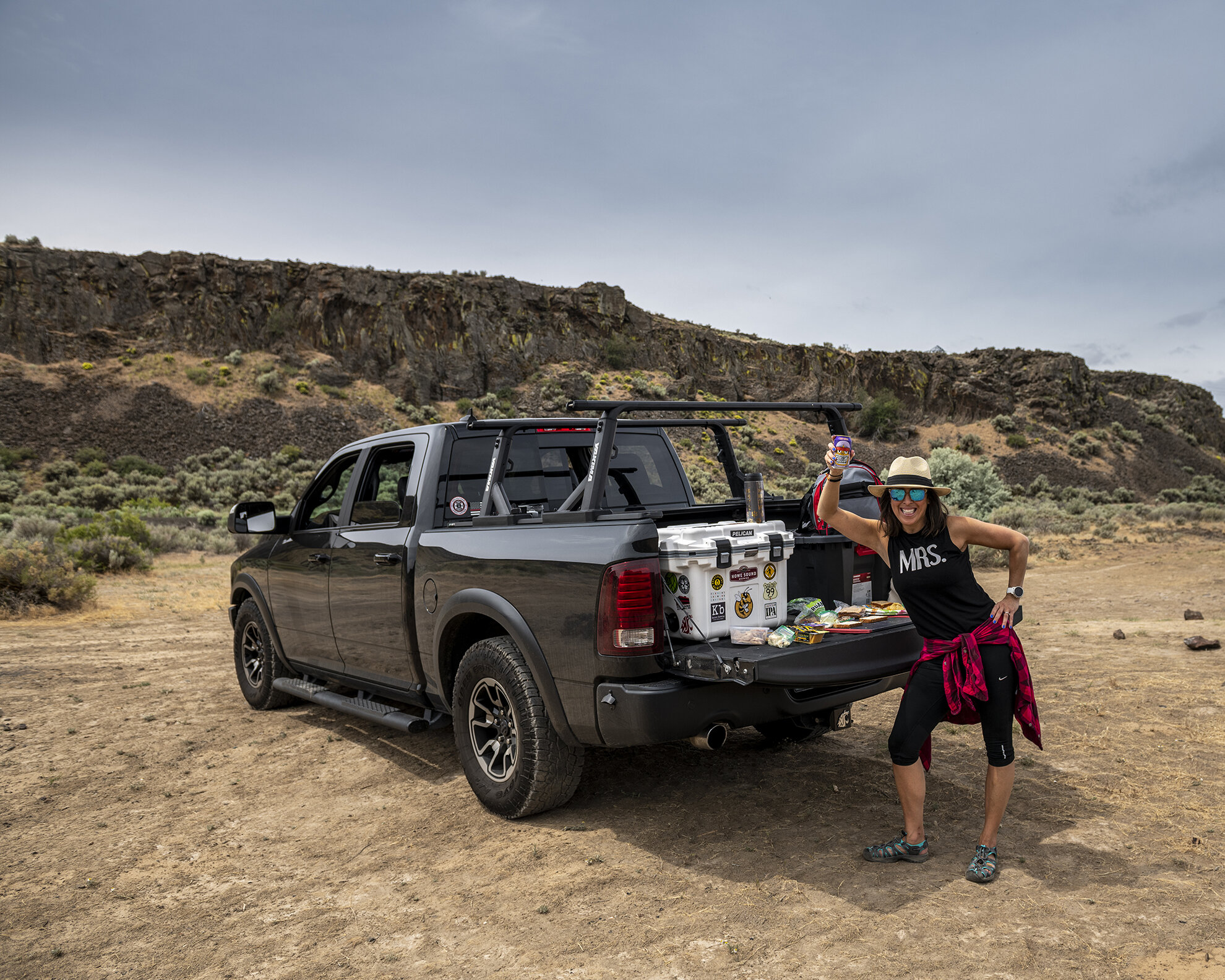
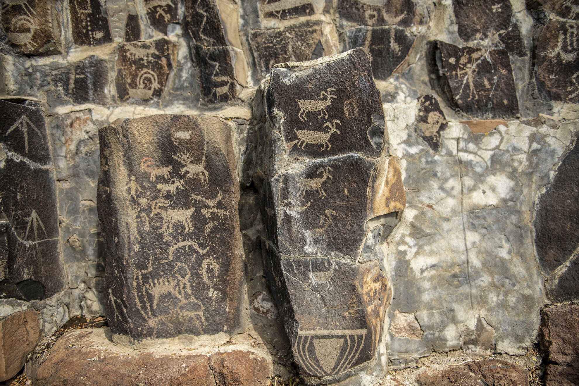
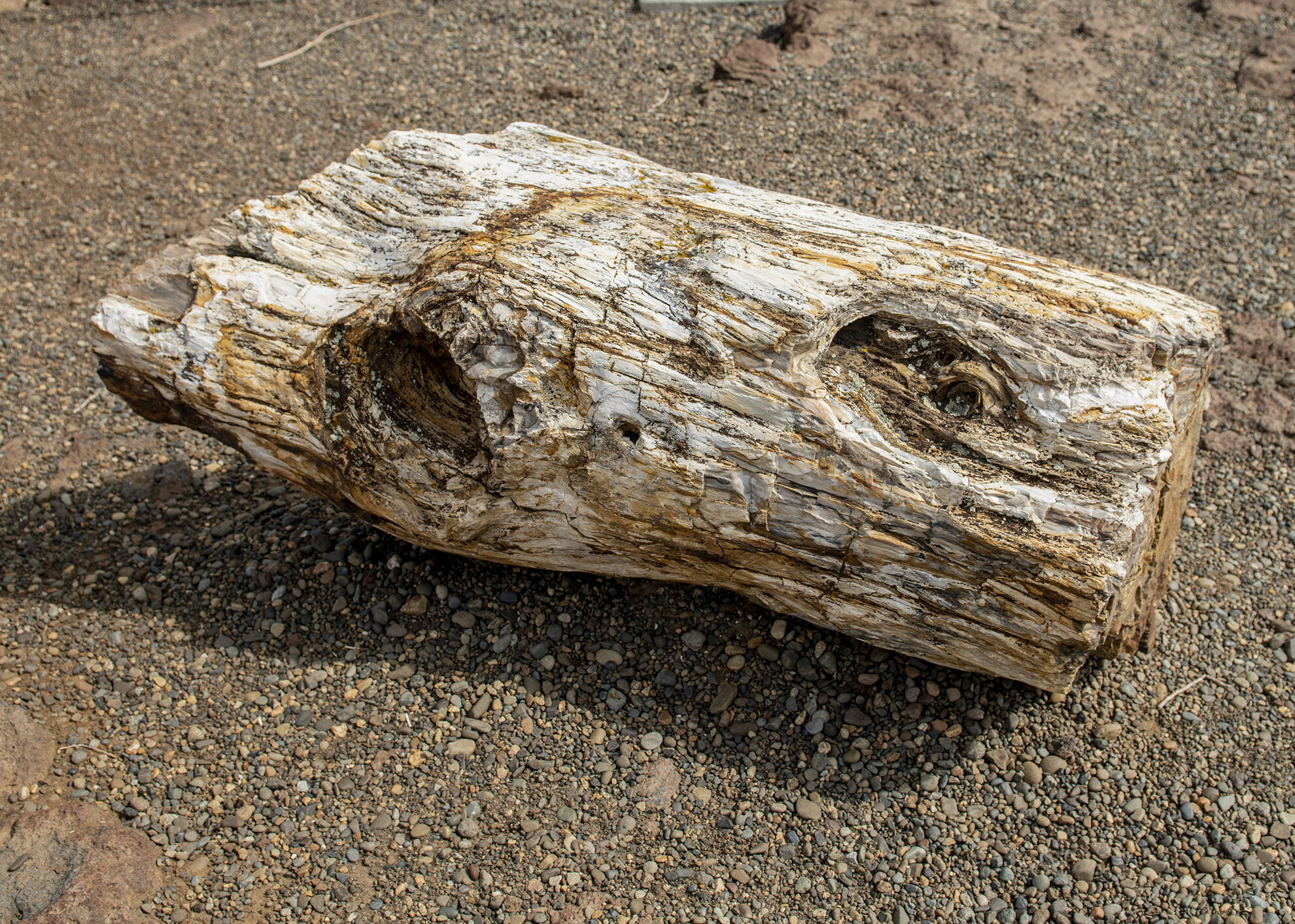
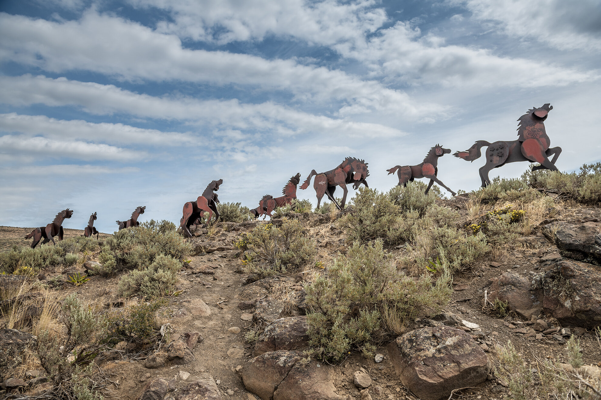
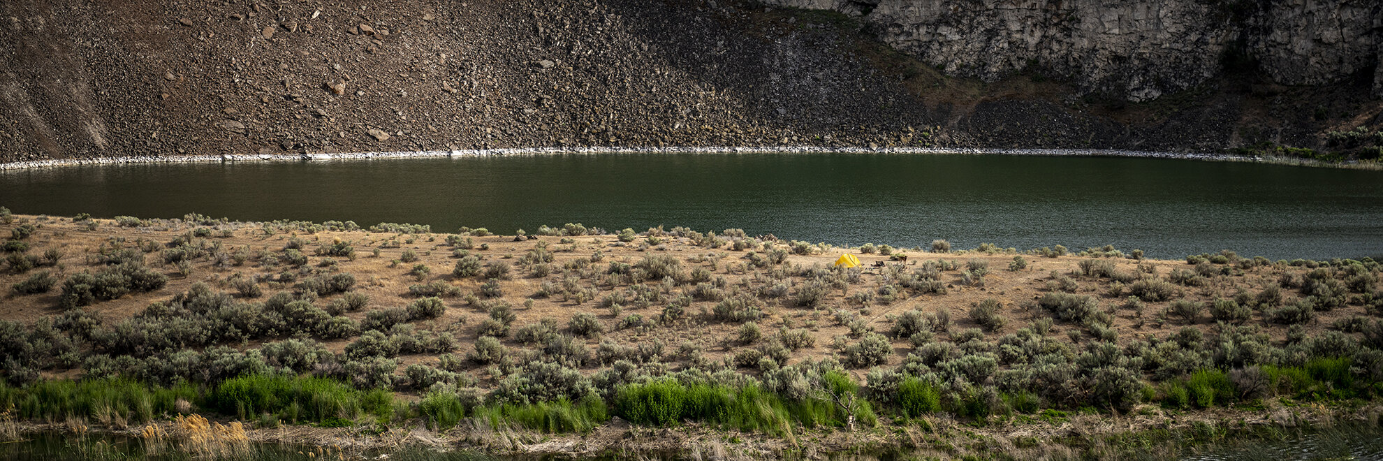
We left on a Thursday evening after work and planned to stay in Yakima. It was about a 3.5hr drive through some beautiful country Oregon and Washington country.. I didn’t mind the drive at all, even though it rained for part of it. The following day we took off for Vantage, WA just a short 1.5hr drive from Yakima. We explored the hieroglyphs, petrified forest and the wild horse monument across the river. From there our goals for the day were to visit Frenchman’s Coulee, Cave B Winery, and Ancient Lakes hike. That was more then enough to fill our day. The weather was in our favor and sitting around high 80’s. The challenge in this area is there isn’t any shade so you have to be prepared to be exposed all the time.
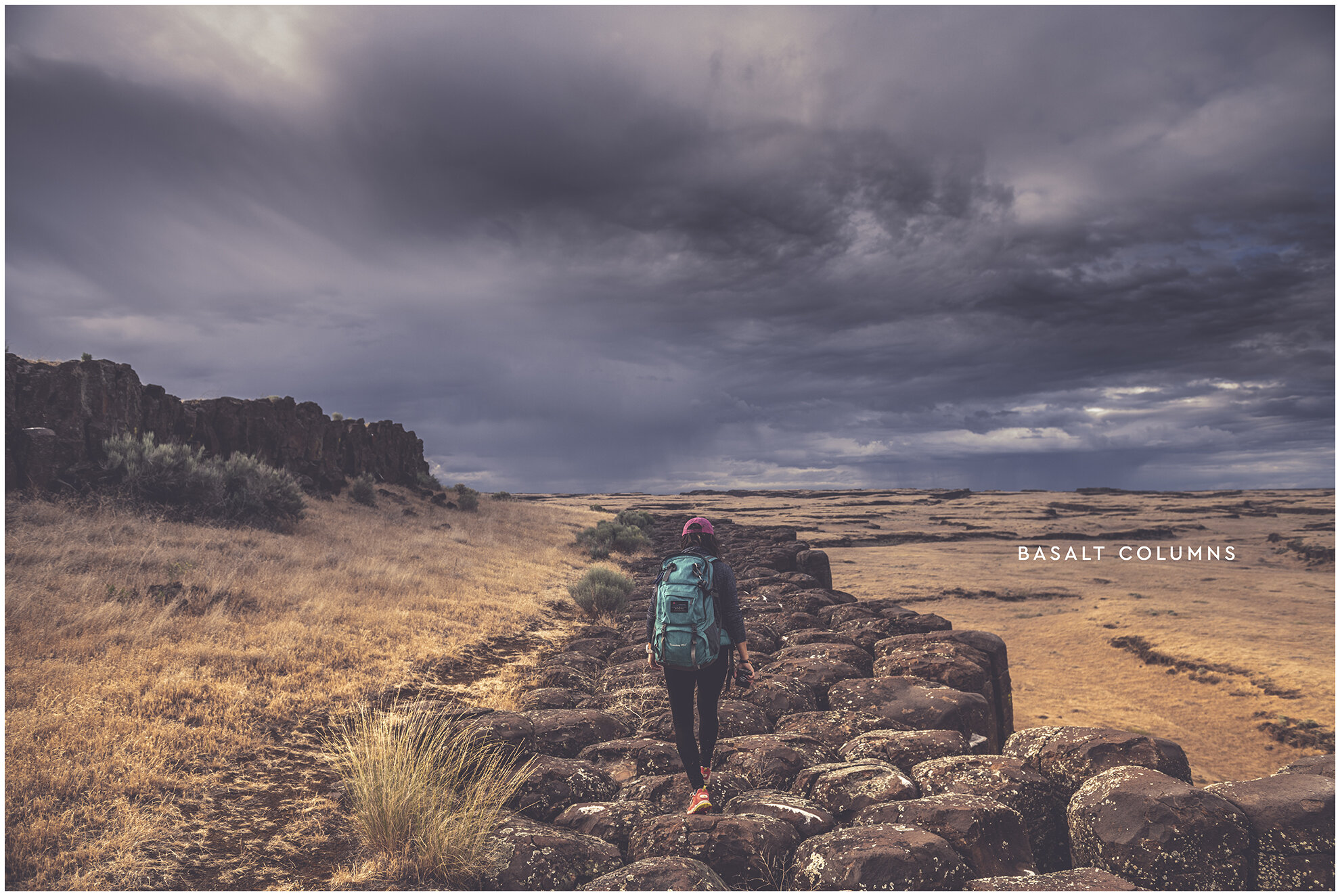
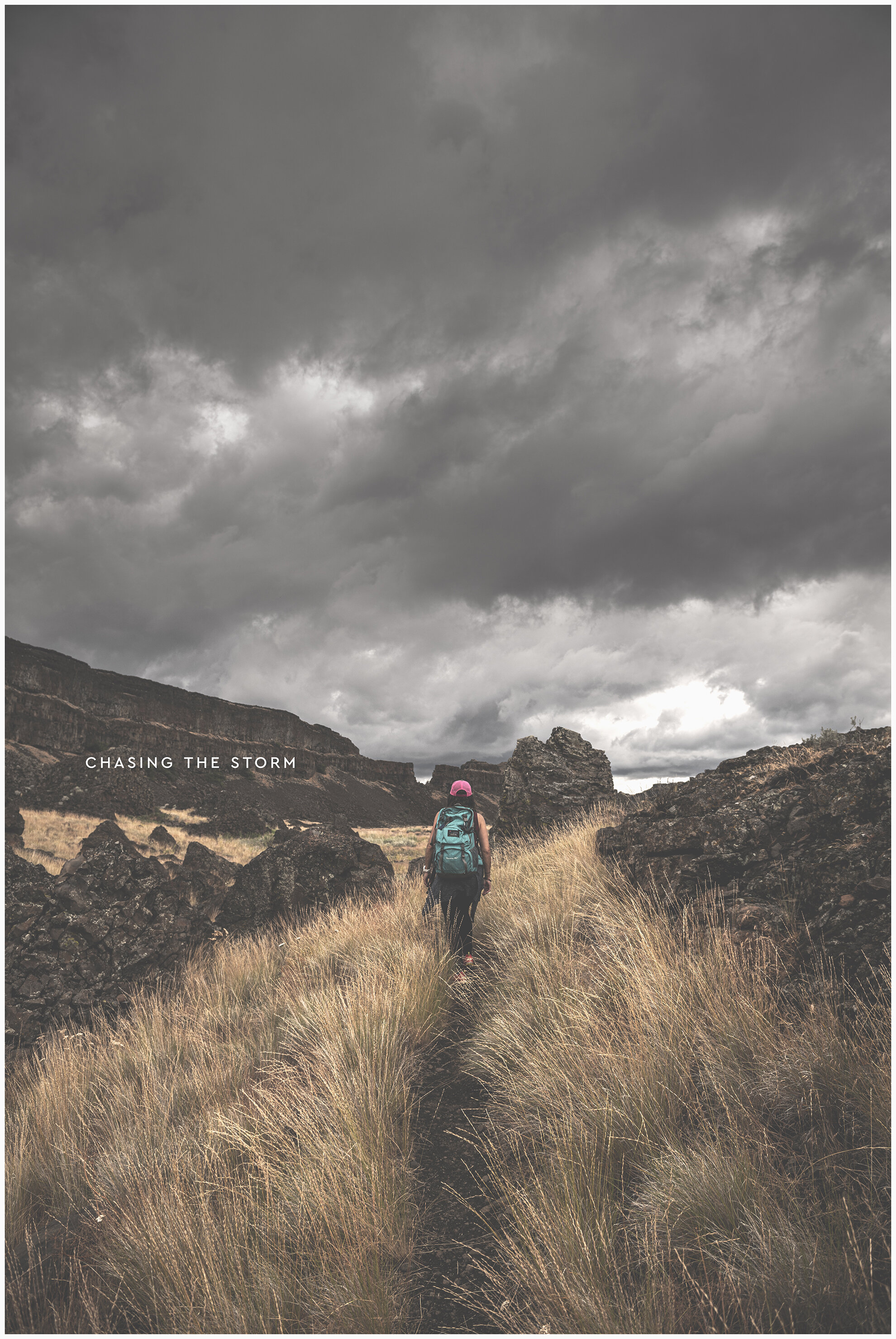
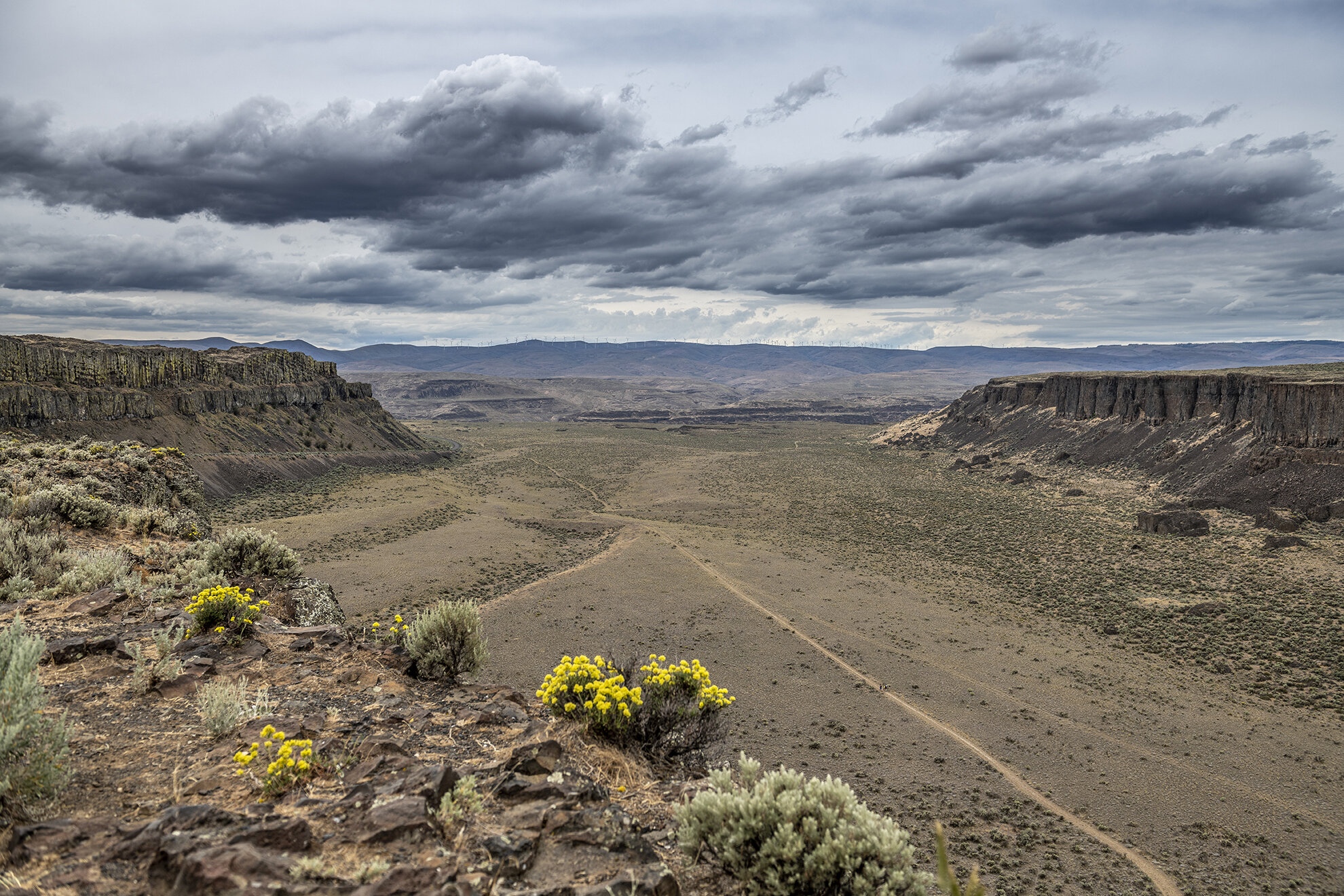
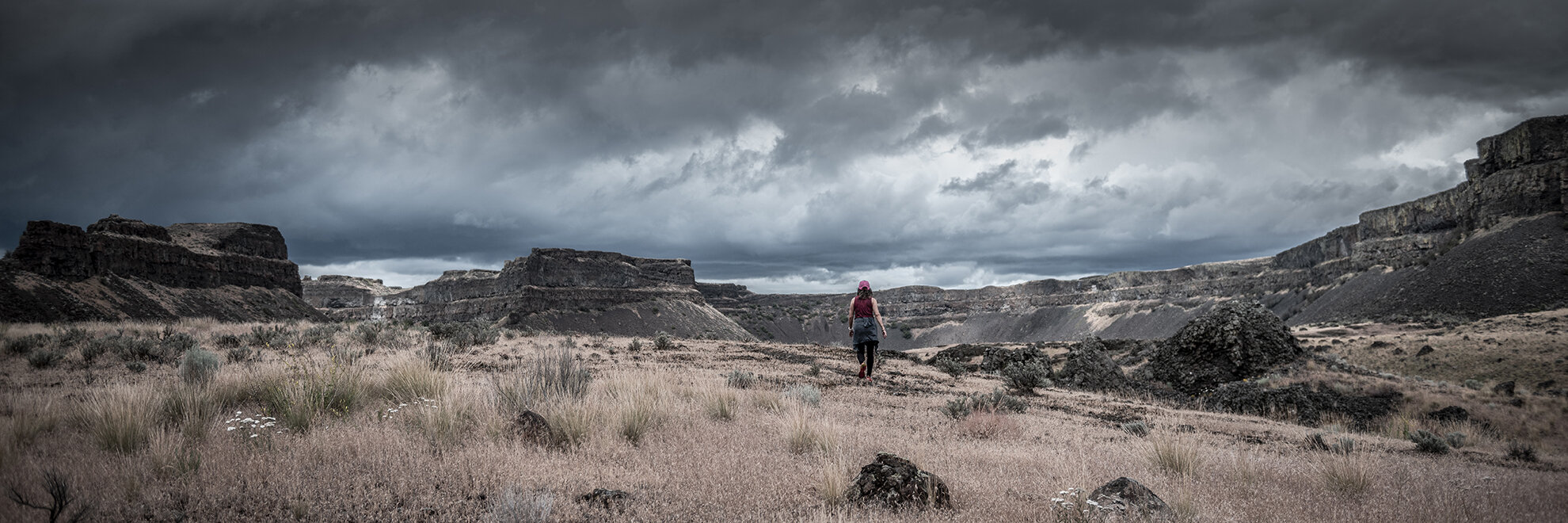
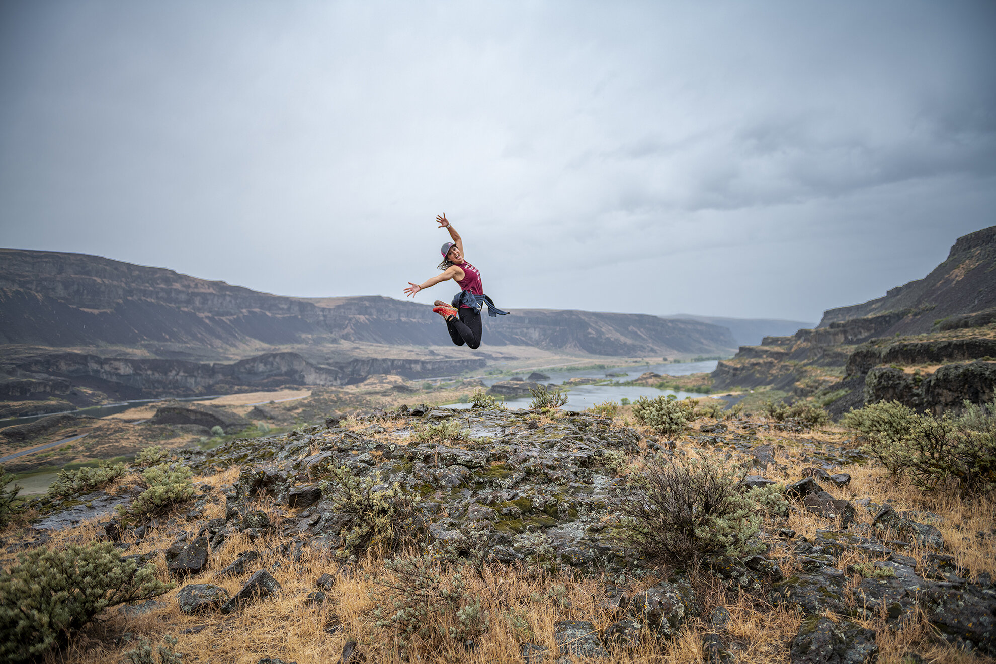
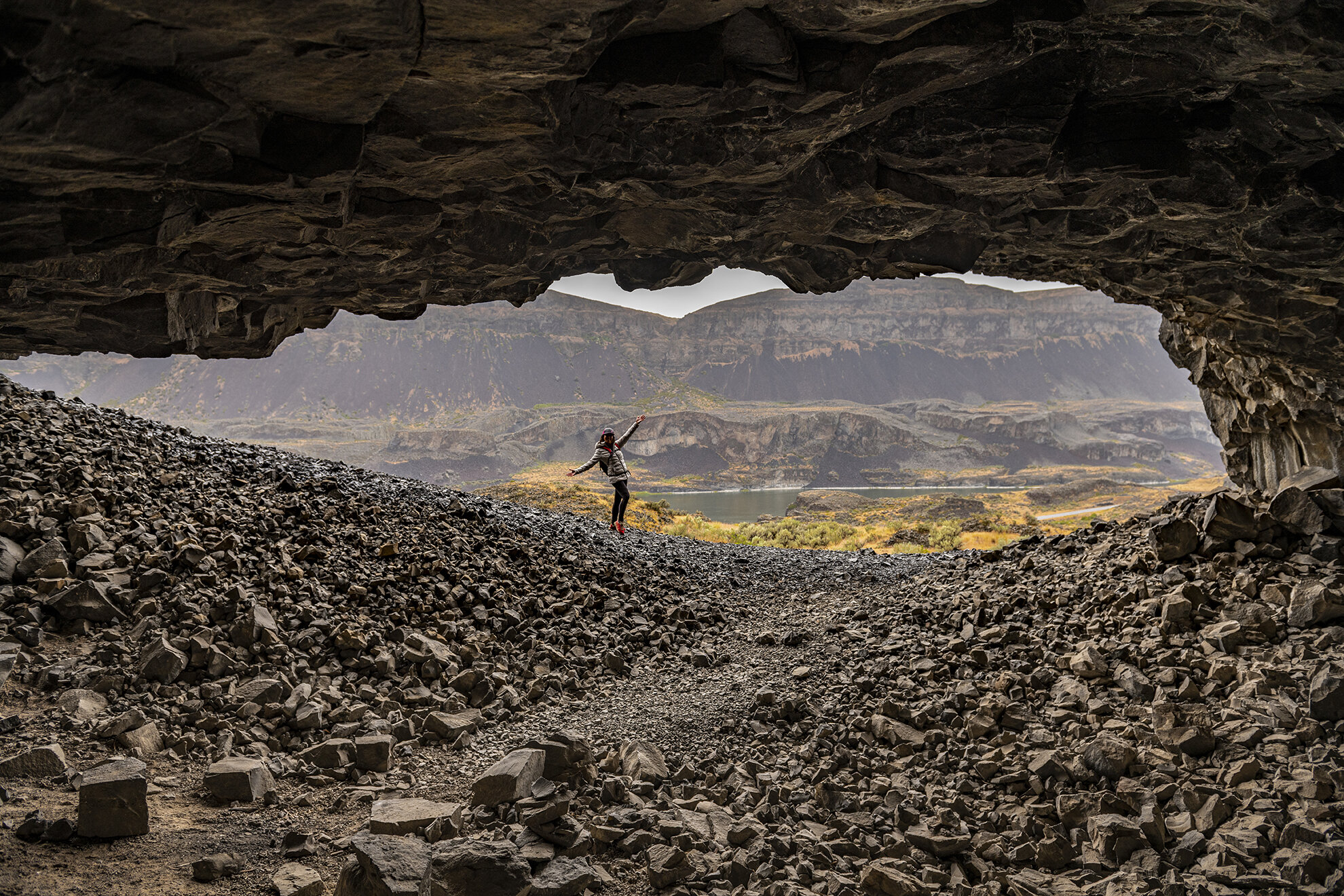
The next day the weather took a downward turn and it was raining. Being from the PNW, we weren’t too worried about a little rain. We were headed off to explore Lake Lenore Caves, Sun Lakes and Dry Falls. As we left The Lenore Caves the weather started improving and by the end of the day we had great weather. As you will see in some of my photographs we had some great clouds in our background. Once we got done at Dry Falls we had a 1.5hr drive to Drumheller Channel. I wanted to be out there closer to sunset and not during the heat of the day. We did arrive to Drumheller channel with a new sign that says “Gate Closes at Sunset” and “No Overnight Camping”. So my hope to hang out for the sunset was quickly squashed. We were not prepared to spend the night if they closed the gate, so we had to change plans. The highlight of Drumheller Channel are the islands of basalt columns that rise from the earth 50-60 feet tall. The hike to them is easy and you can almost walk as the crow flies if you lose site of the trail. It is a beautiful hike and gives you time to look around and imagine this was all carved by massive floods thousands of years ago.
Basalt Columns: The fracture pattern that forms at the cooling surface will tend to be propagated down the lava as it cools, forming long, geometric columns. Thus, as lava cools to form basalt, it may crack in a hexagonal (or other) shape and form columns. ... Water can play a role in the formation of columnar jointing in lava flows
Drumheller Channel is located in the town of Othello Washington. The area was shaped 13,000-15,000 years ago by the Missoula Floods. The floods that carved out the landscape where the largest floods to have swept across anywhere in the world. The floods created butte-and-basin channeled scablands. The landscape is characterized by hundreds of isolated, steep sided hills and dry stream channels. In 1986 the park service made Drumheller a natural landmark.
The Scablands refers to the torn-up landscape that was left behind after the Missoula Floods. Thousands of years ago the Cordilleran Glacier moved down the Okanogan and blocked the Columbia River flow. The water backed up and became Lake Spokane. There have been dozens of floods that carved the landscape. Most came from pieces of ice blocking the Clarks Fork River and the pooled up water to create Glacial Lake Missoula. Dozens of times, the dam would give way and the pooled up water would flow into Lake Spokane and then into the Grand Coulee. These flood waters cascaded over Dry Lake Falls and continually carved the landscape into what we see today. The flood waters were anywhere from 200-400 feet deep and traveling at times up to 65mph.
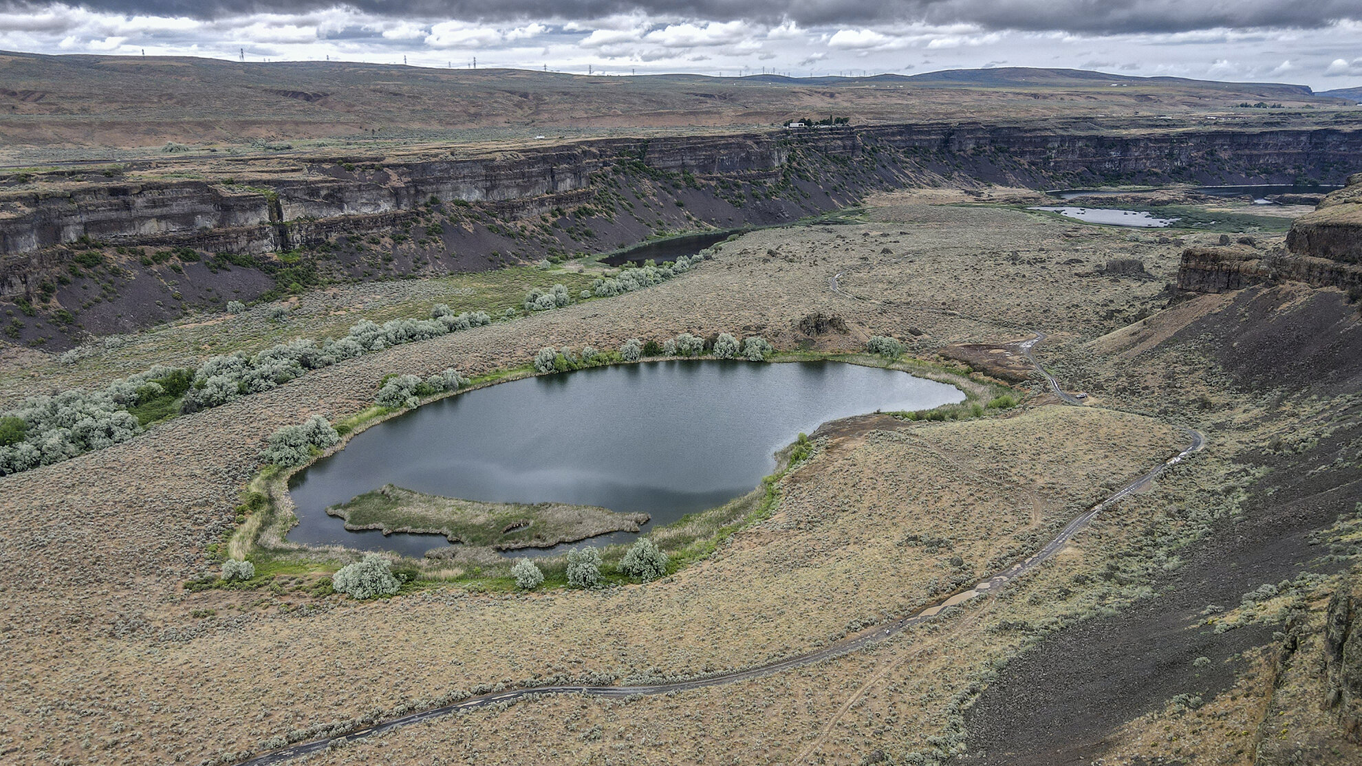
Umatilla Rock and Dry Falls in the background
Dry Falls is over 400 feet tall and 3.5miles wide; over 5 times as wide as Niagara Falls. It is estimated that the rivers that flowed over Dry Falls was equal to 10 times the current volume of all the world rivers combined. These waters found their way to the Grand Coulee. When it was flowing at its peak, the falls would have looked like a dip to us and not a 400 plunge of water as it looks today.